mickeystoontown
DIS Legend
- Joined
- Oct 2, 2006
- Messages
- 29,355
Back on the road and already trying to map out where to stay next trip
Early lunch picnic done, we were back on the road. These next pictures will probably be boring to you but when I took them, they meant something to me so I am going to post them anyway. I'm always thinking "what if we drive a little bit further?", "could we have made it to XYZ?", etc. Distances always look short on a map but what are they really in driving distance. Did that make sense? What I'm trying to say is you can google how long is the drive between X and Z but how long is it really. So, what I would do is take a picture of the time (this is back in Louisiana time)
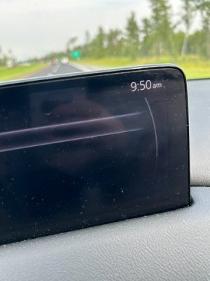
And a picture of the sign. This would tell me approximately how long it took me to get from one point to the next. Early lunch picnic done, we were back on the road. These next pictures will probably be boring to you but when I took them, they meant something to me so I am going to post them anyway. I'm always thinking "what if we drive a little bit further?", "could we have made it to XYZ?", etc. Distances always look short on a map but what are they really in driving distance. Did that make sense? What I'm trying to say is you can google how long is the drive between X and Z but how long is it really. So, what I would do is take a picture of the time (this is back in Louisiana time)

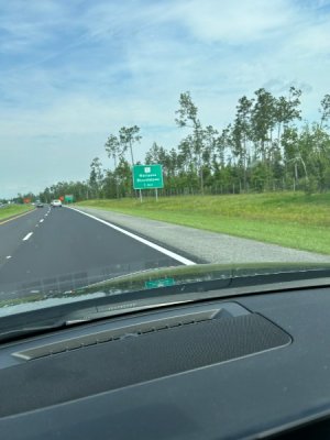
I am sure that a lot of you just rely on Google maps or MapQuest to get you places but I like to make notations on printed directions. I'm old school like that.

We made it to the Florida/Alabama state line and just kept on driving and riding, driving and riding. There was some traffic as we neared the beach exits but it wasn't nearly as bad as the traffic on our way there. The exit to Bucee's was stupid crazy but it always is. No Bucee's for us. I'll stop somewhere else to gas up and take a bathroom break. We were able to get through the Mobile without any incident either which was a blessing as we were dreading the traffic there. You will remember that we sat for three hours in traffic on the way to Disney. I didn't want that again!
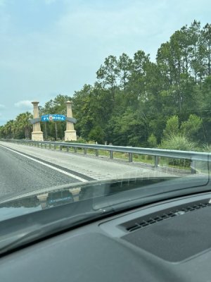
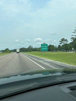
I didn't take another picture until we made it to Mississippi where we stopped for a bathroom break. The travel time from the Alabama state line to the Vicksburg, Mississippi was about 5 1/2 hours. That wasn't bad all things considered. We stretched our legs a bit and took a picture or two of the mighty Mississippi river.
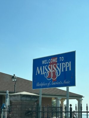
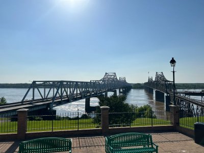
We didn't linger too long as we were on the final stretch home. We crossed the Mississippi River and were back on Louisiana soil.
This was around the area that we saw the bear on the way to Florida....nope, don't see another and probably will never see another bear there again.
We rolled into our house a little over an hour after we left Vicksburg. We were happy to have taken the trip as it was a much needed getaway. We were able to do more than I had expected but we were really weren't going to see and do it all. We were doing it to escape from reality even if it were just for a few days. Our goal was to keep Mama as healthy as possible and countdown to the next vacay!
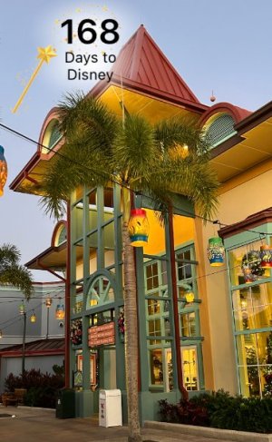
I appreciate all of your sticking with me through this trip report! Lots of things kept me from finishing it up in a timely manner. Now that I have some more time on my hands, I'm going to do some organizing of our most recent trip pictures and will be starting a new report soon. I hope that you'll come along for the crazy ride!
