bcla
On our rugged Eastern foothills.....
- Joined
- Nov 28, 2012
- Messages
- 25,822
Not actually visiting Disneyland proper, but we're planning a trip (centered around train travel) and wondering how me might manage transportation around Anaheim without a car. Definitely planning on going to Downtown Disney.
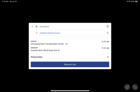
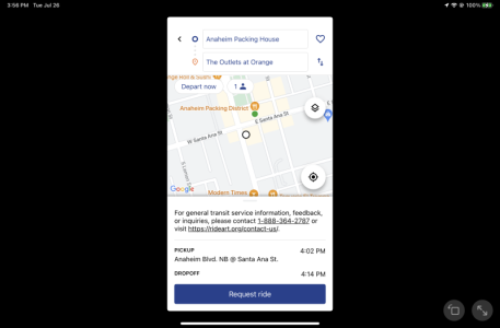
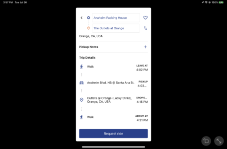
I was looking at the ART website and it's a freaking mess. No real time information or schedules, and no links to any individual route maps, although some web searches yield them. Plus the main map mentions some routes like the Buena Park and City Center routes, but they seem to be gone. I downloaded their app (A Way WeGo) and that seems to have somewhat better info. I might not be able to load it on my phone (not enough free storage), and my tablet is Wi-Fi only. Beside that, it doesn't do portrait mode on a table for some reason.
My big worry is about getting to and from the train station, whether that's ART or OCTA. I guess if we have to, Uber or Lyft. My kid has been researching places in Southern California, and really wants to go to Porto's, whether it's in the LA area where we'll be on day one or Buena Park.


